Access details: start at the South Fork Eagle River trailhead near the top of Hylen Road, hike to Eagle Lake. This is where things get trickier; the CSP map shows the trail following along the eastern banks of Eagle Lake, but a better trail follows the land bridge between Eagle and Symphony Lakes and hugs the base of Cantata until it reaches the end of Eagle Lake. Here is where most people go wrong; at the far shores of Eagle Lake, immediately cross the creek and follow the banks of the lake about halfway down the beach. If you keep a keen eye out, you'll find a trail that follows the broad gravel banks in the middle of the valley floor. This route is mostly free of obnoxious obstacles, with a couple of brisk creek-crossings. No route up this portion of the valley seems to completely avoid the water, but the other routes I've explored always seem to lead into hellish bushwacks or long stints of marsh-wading. Eventually, you will come to the first waterfall. There are many obvious ways to ascend the falls. The trail to the glacier is rather obvious from here, and accessing the glacier is easy from its terminus.
Picture by Paxson Woelber
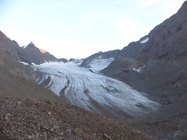
Picture by Frank Baker